2026 Road Atlas & National Park Guide
2026 Road Atlas & National Park Guide is backordered and will ship as soon as it is back in stock.
 FREE Standard Shipping On Orders Over $100
Delivery in 2-5 Days
Delivery in 2-5 Days
We make every effort to ensure orders are fulfilled and ready for shipment within 2-3 business days. No orders are shipped on Saturday & Sunday.
Unless noted on a product's page, orders will ship in the order they were received. We will notify you via email as soon as your order is ready for shipment. Digital Products (Guides and Gift Cards) are available for immediate download or will be emailed to you.
Standard delivery times:
- U.S. orders: 2-5 business days.
- Orders to Canada: 5-9 business days.
- Other international orders: 10-15 business days.
FedEx Standard Overnight:
- Orders are delivered in 1 business day after fulfillment.
- Orders placed Monday - Friday after 12pm Eastern Time will likely ship the following business day.
Orders that are shipped and tracked with USPS: USPS does not make any guarantees on shipping times. Read our shipping policy for full details.
Supporting Small Businesses
Supporting Small Businesses
By purchasing any item from our store, you support local artisans and small businesses. We carefully select small businesses that share our love for the great outdoors. Your purchase makes a direct impact, helping these communities thrive.
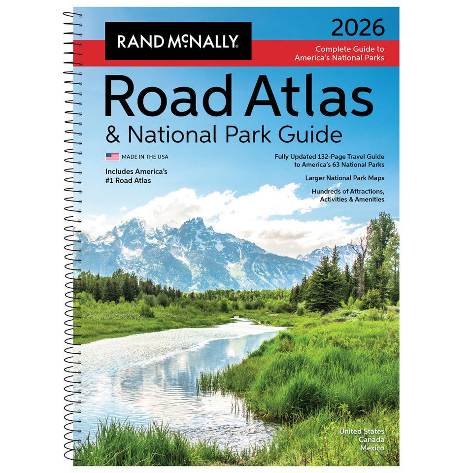
Showcasing this country’s astonishing beauty, the 2026 Rand McNally Road Atlas & National Park Guide has been fully updated with expanded content and larger park maps. Featuring hundreds of photos, essential visitor information, and expert travel tips for all 63 of America’s national parks. Includes a complete 2026 Rand McNally Road Atlas for effortless navigation!
Features Include
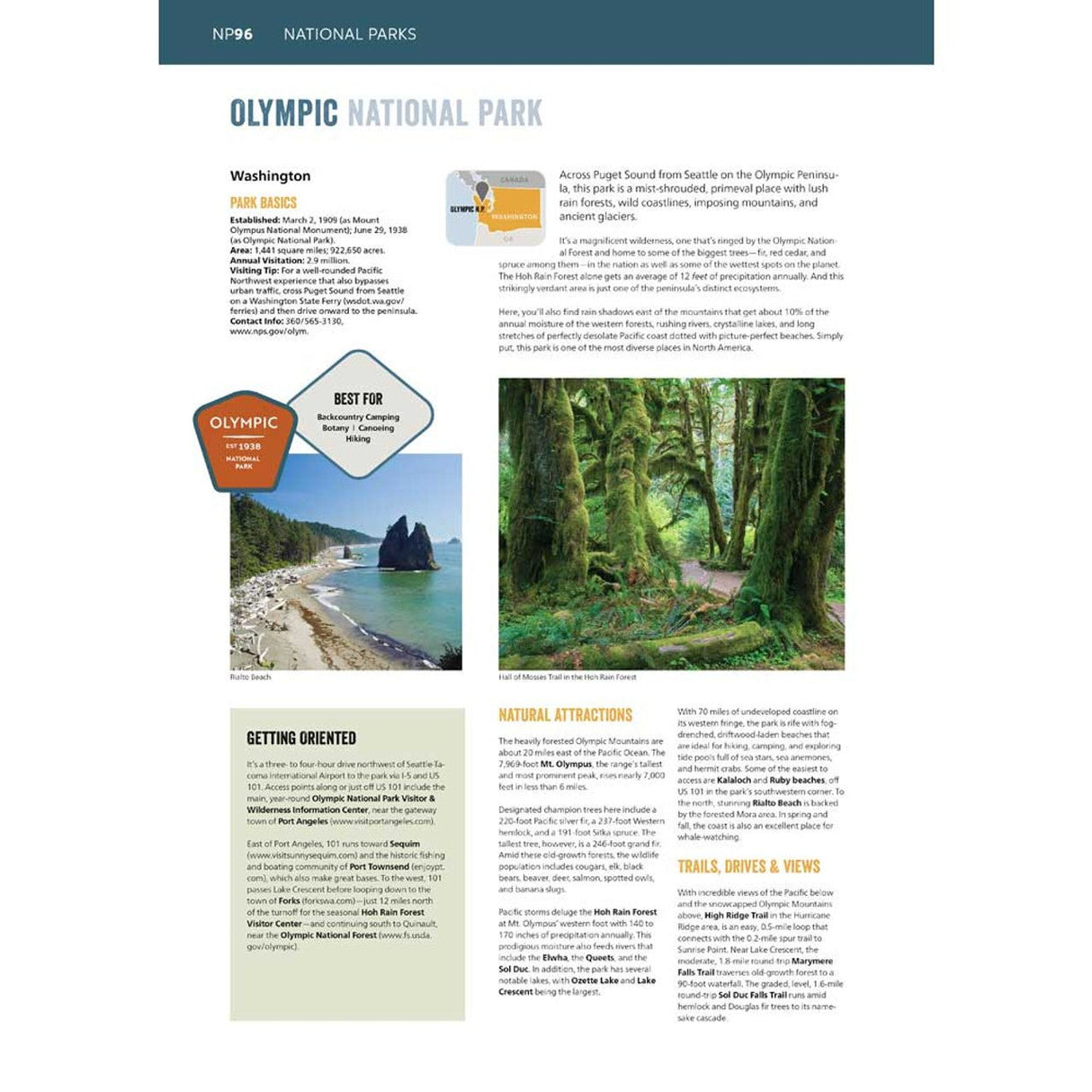
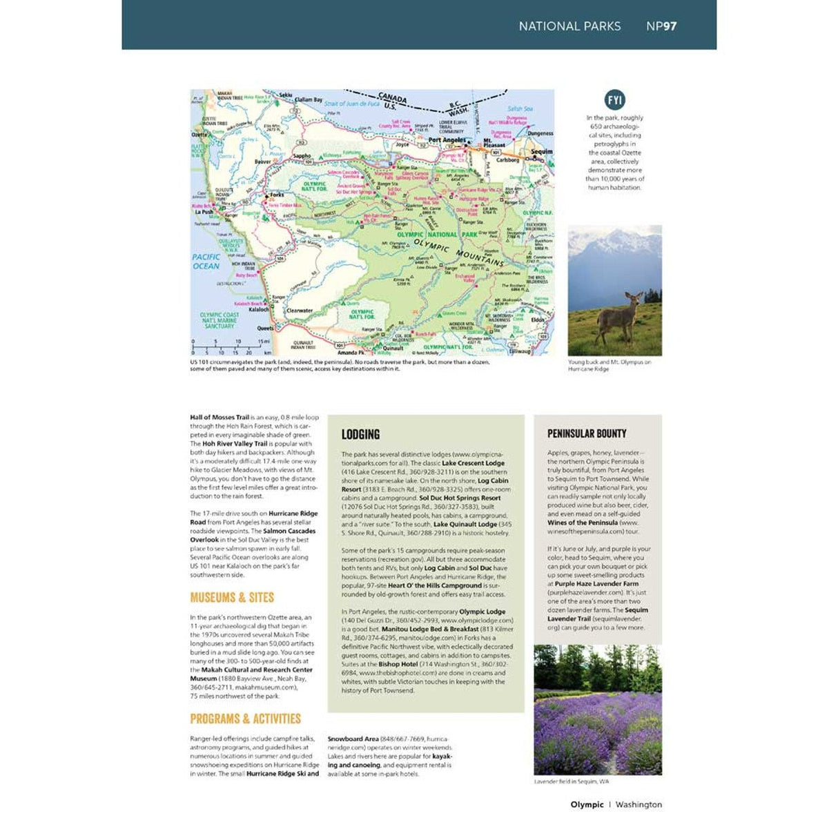
- A four-color, 132-page National Park Guide details the best of the best in each park---from trails, drives, and natural wonders to programs, museums, and lodges.
- Hundreds of photos capture the essence of each park.
- Larger park inset maps highlight key points-of-interest.
- A complete 2026 Rand McNally Road Atlas for planning and mapping out your trip.
Additional Features
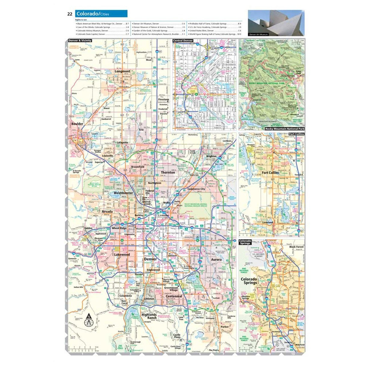
- Updated maps of every U.S. state, Canadian province, and an overview map of Mexico.
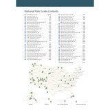
- Inset maps of over 375 cities and 63 U.S. national parks.
- Road construction and conditions contact information for every U.S. state and Canadian province conveniently located above the maps.
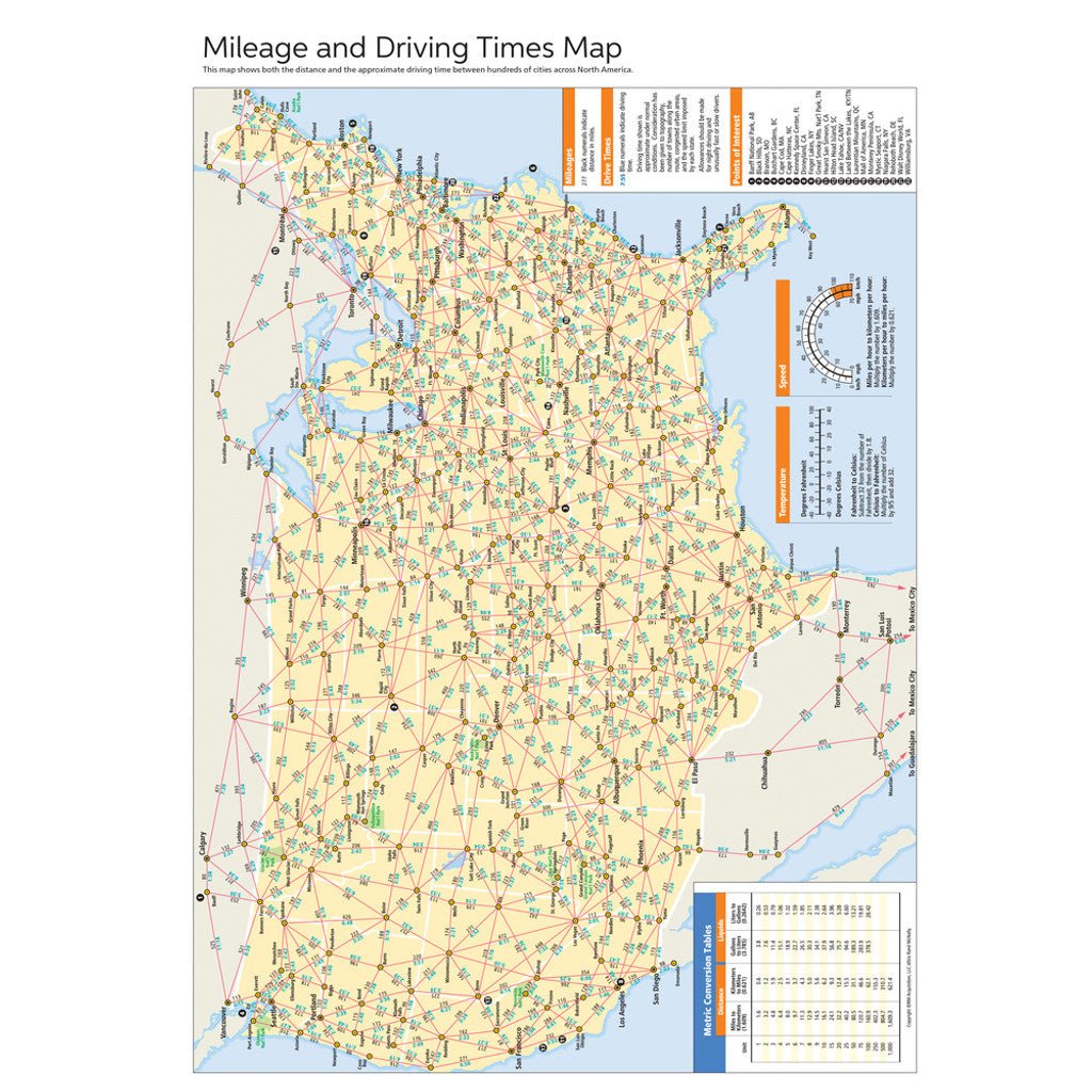
- Mileage chart showing distances between 90 North American cities and national parks along with a driving times map.
- Tell Rand! As much as we work to keep our atlases up to date, conditions change quickly and new construction projects begin frequently. If you know of something we haven’t captured in our atlas, let us know at printproducts@randmcnally.com
- Tourism websites and phone numbers for every U.S. state and Canadian province on map pages.
- Made in the USA
- Paperback
- Spiral bound
- 272 pages
- Dimensions: 10.875" x 15.3125

